
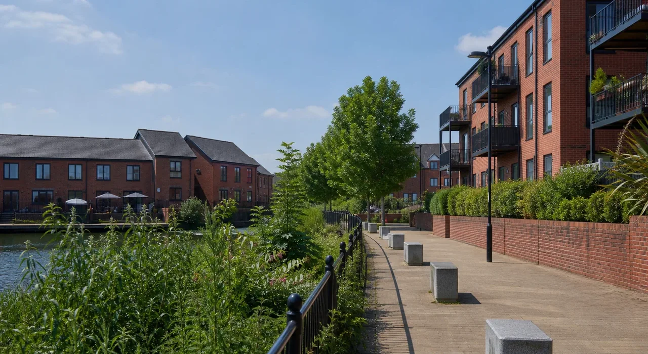
Ordsall occupies an unusual position in the Salford geography – it sits between the Lowry and Salford Quays development on one side and the traditional working-class Salford streets on the other. The result is a neighbourhood in visible transition: new apartment blocks appearing alongside the streets and pubs that have been there for a hundred years.
Ordsall Hall
Ordsall Hall is genuinely surprising – a Tudor black-and-white timber-framed manor house sitting in the middle of working-class Salford. The hall dates from the mid-fifteenth century, was the seat of the Radclyffe family, and has somehow survived the industrial revolution, the clearing of the surrounding land, two world wars and the postwar redevelopment of Salford. It’s free to enter and the contrast between the half-timbered medieval building and the surrounding urban landscape is one of those Manchester-area moments that no other city quite produces.
The Ship Canal History
The Manchester Ship Canal runs along Ordsall’s southern edge and the industrial history on this stretch is dense. Docks 8, 9 and the associated warehousing occupied huge areas of Ordsall for most of the twentieth century. The clearance of the docklands from the 1980s onwards and the redevelopment into the Lowry, Salford Quays and the new residential areas is visible in the mix of Victorian dock architecture that remains and the modern development that replaced the rest.
Working-Class Salford
Behind the new development, Ordsall’s original streets – the terraced rows and social housing blocks that housed dock workers and their families – survive and are still occupied by long-standing Salford families. The social geography of this part of Salford – who gets to stay and who gets displaced by rising rents around the Quays – is a live debate in ways that the glossy MediaCity imagery doesn’t acknowledge.
Related Manchester guides
Corrections
Spotted something wrong? Send a correction.